
Aosta Valley
Overview
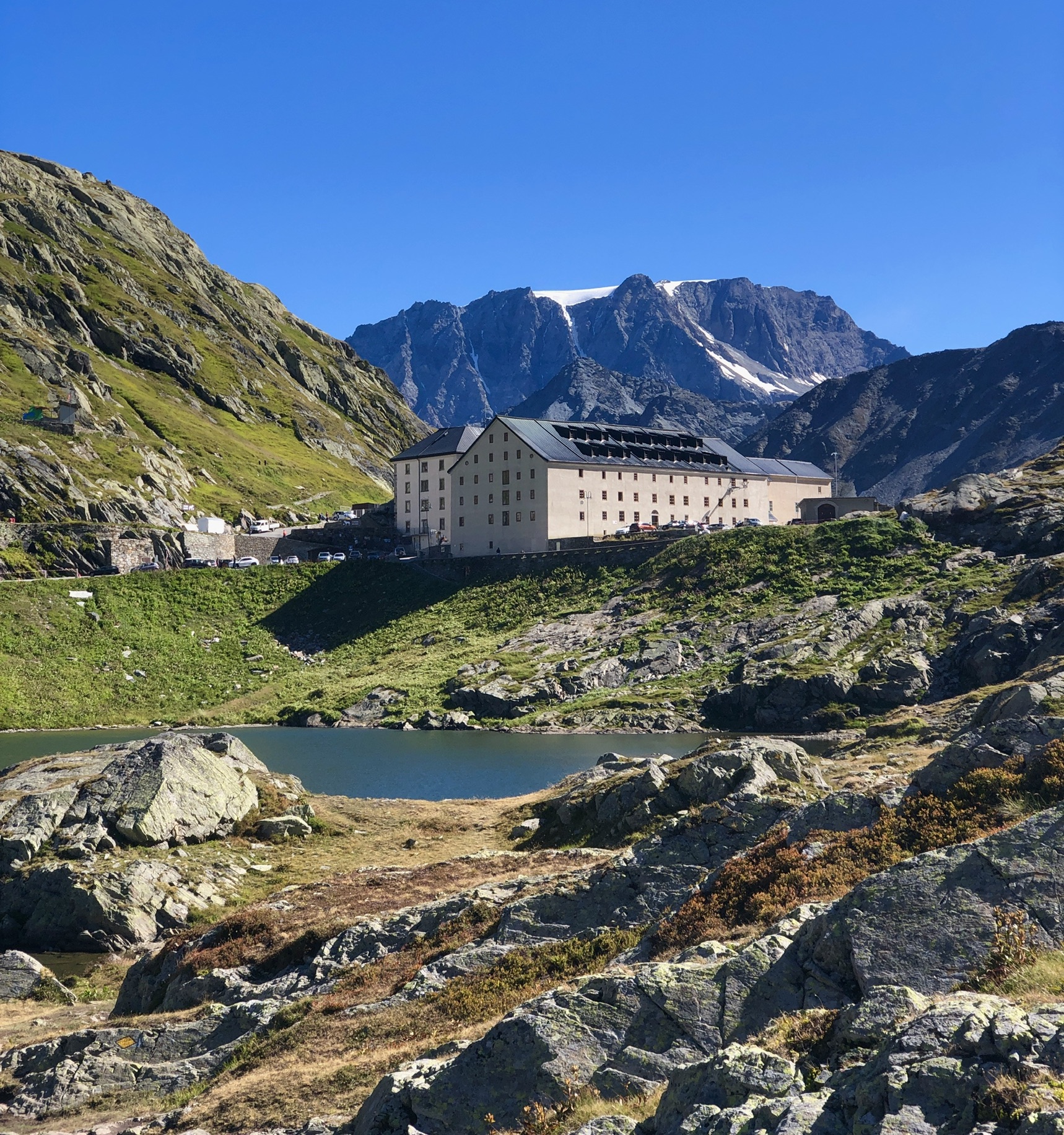
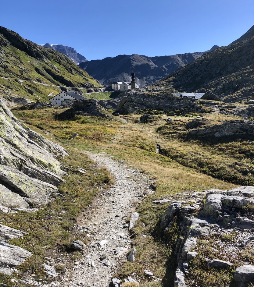
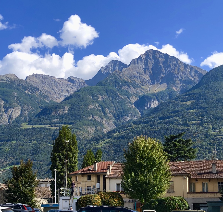
Via Francigena Tours offers an 8-day, 90 km tour of the Aosta Valley covering the first five Via Francigena stages in Italy. The tour begins at Great St Bernard Pass at an altitude of 2,473 m. At this high altitude it is only safe to do the tour from mid-June to mid-September. The first 30 km is a steep descent through alpine trails following the Bisses water canals down to 600 m to Aosta. For the rest of the walk there is a gradual decrease in altitude from 600 m to 300 m. Along the way, the dramatic valley floors are showcased by spectacular mountain backdrops with historic medieval castles, and pristine Roman ruins.
Historical Context
The Via Francigena in the Aosta Valley served as the crucial alpine gateway connecting northwestern Europe to Rome, entering Italy through the high-altitude Great St Bernard Pass. It was originally engineered as a strategic military and commercial highway by the ancient Romans who built the fortified city of Aosta (Augusta Praetoria) and robust infrastructure like the rock-hewn road at Donnas. The route evolved into a monumental medieval pilgrimage network famously documented by Archbishop Sigeric of Canterbury in 990 AD. It passes through three of the places he recorded in his diary. Today these are known as Saint-Rhémy-en-Bosses, Aosta, and Montjovet. Because the narrow mountain valley was a vital corridor for spiritual seekers, merchants, and armies, local lords erected a dense network of fortifications, like the Fort of Bard, to protect, control, and tax the travellers. About 1049 AD, the Augustinian monks, under the guidance of St Bernard, established the legendary Great St Bernard Hospice at the summit to rescue those braving the perilous alpine crossing. Our Aosta Valley tour will enable to walk through all of this amazing history!
Highlights
- Great St Bernard Pass, the Hospice and St Bernard rescue dogs.
- Saint-Rhémy-en-Bosses, Sigeric’s 68th stopover, still produces its raw, herb-cured prosciutto.
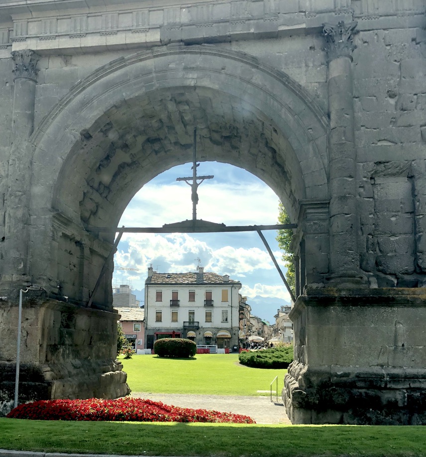
- Aosta Roman ruins including Arch of Augustus, Praetorian Gates, and Roman Theatre.
- Donnas Roman Road with Roman archway and chariot wheel grooves.
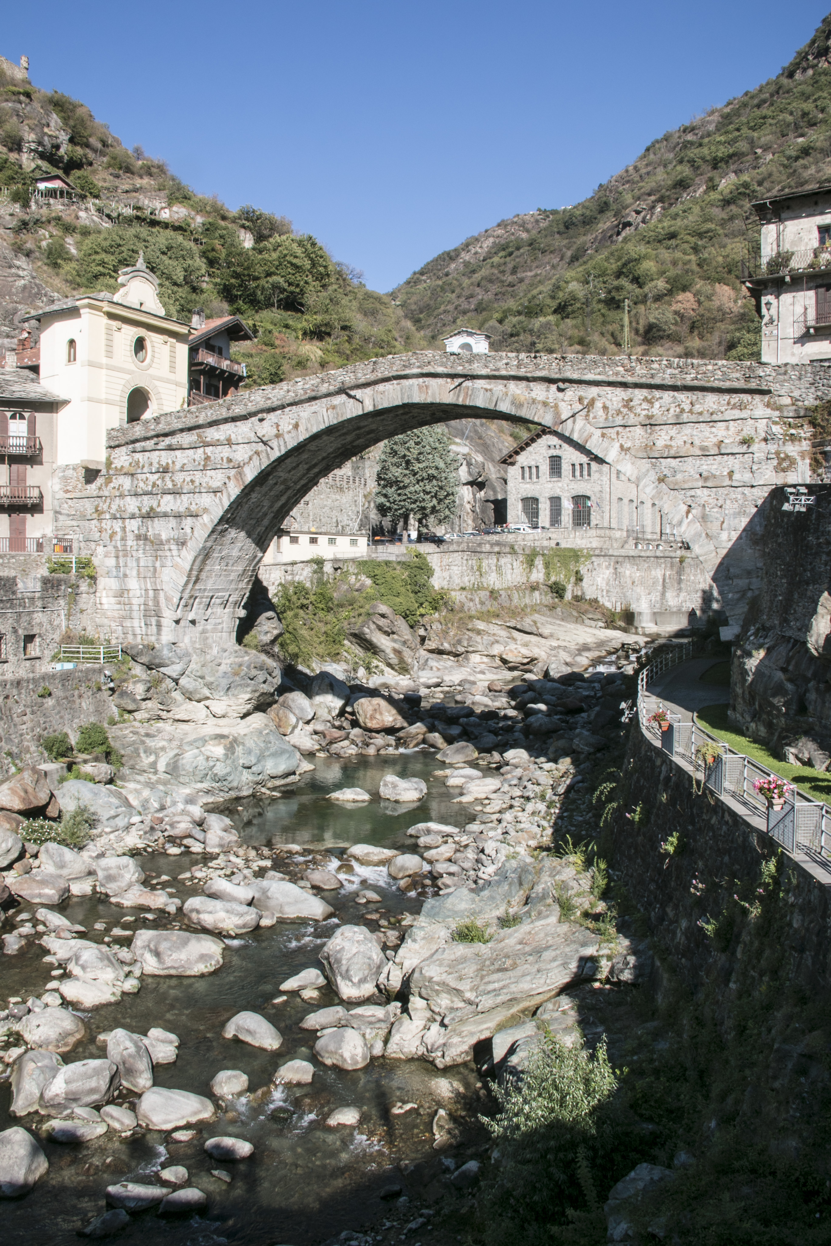
- Pont-St-Martin Bridge that spans the Lys River.
- Fort of Bard which now houses cultural museums.
- Fénis Castle medieval castle complete with 15th century frescoes.
- Verrès Castle, a monolithic square fortress built on a rocky peak.
Day-by-Day Itinerary
Day 1
Arrive at Grand-St-Bernard Pass
Travel to Grand-St-Bernard Pass and stay the night.
Day 1
Travel to Grand-St-Bernard Pass and stay the night.
No details are available.
Day 2
15 kmGrand-St-Bernard Pass → Echevennoz
Day 2
Route Description
This is a demanding walk due to the steep descent from 2,473 m to 1254m. The trails follow the Bisses, or 'rus' medieval irrigation streams through orchards and forests. It is a steep descent for the first 8 km to Saint-Rhémy-en-Bosses, which was Sigeric's 68th stopover. After that it is a level walk enjoying several small villages, San Leonardo, Saint-Oyen, and then Étroubles. The small medieval towns have bars for rest stops and panoramic alpine views are a highlight.
Day 3
14 kmEchevennoz → Aosta
Day 3
Route Description
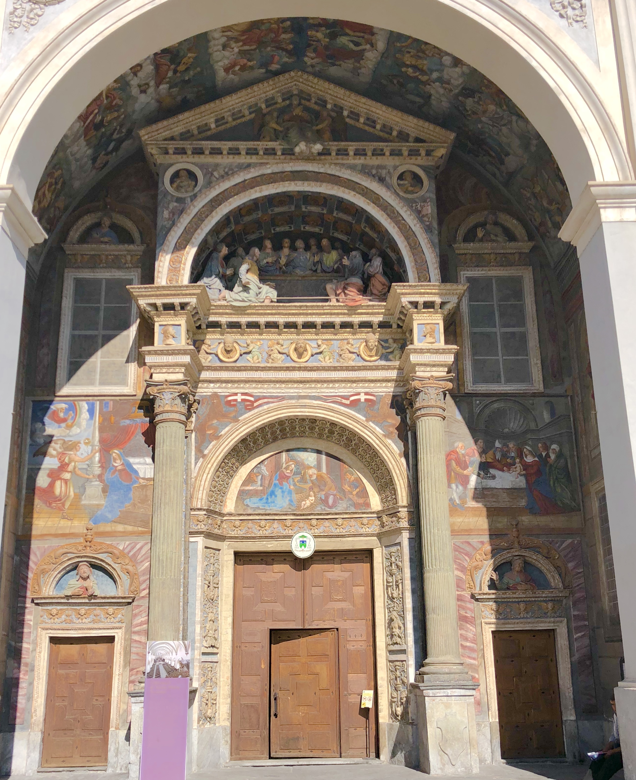
The walk is level at 1200 m for the first 6 km. It begins with a bridge crossing and then continues following the Bisses through forest trails. Just before Gignod follow a minor sealed road that begins the descent into Aosta. Small villages along the way include Chex Henry (8.3 km), Chez Roncoz (9.5 km), Variney (10.3 km) and Signayes (11.7 km). Then walk through the outskirts of Aosta arriving at the Nôtre Dame Cathedral.
Day 4
14.3 kmAosta → Nus
Day 4
Route Description
The walk begins at the Cathedral of Santa Maria Assunta and continues through Aosta to the Arch of Augustus. Then continue along minor sealed roads to Saint-Christophe (3.5 km, 600 m) with its beautiful Romanesque bell tower. At Villair (6.7 km) a steep ascent begins and at Epraz enters an uphill trail to Quartz Castle. Then the walk continues along minor sealed road and trails arriving at Nus.
Day 5
13.4 kmNus → Châtillon
Day 5
Route Description
The second day of the walk to Châtillon continues along hillside trails at 600 m altitude walking beside the Bisses.
Day 6
19.44 kmChâtillon → Verrès
Day 6
Route Description
The walk continues along hillside trails. Stop for a rest break at Saint-Vincent and visit the Romanesque church.
Highlights
- Vineyards and alpine views
- Views of Chénal Castle
- Montjovet rest stop
- Saint-Germain Castle
- Verrès Castle
- Romanesque church at Saint-Vincent
Day 7
Departure
Day 7
Tour ends after breakfast
Route Map
What's Included
Accommodation
- Accommodation located along the pilgrim route that understands and supports pilgrims’ needs.
- Types of accommodation include Hotels, B & Bs, Agriturismos and Castles.
- Rooms are high quality with ensuite bathrooms.
- Breakfast is included.
Luggage Transfers
- Luggage transfers by a private company with 3 bag weights available.
Route Information
- Guidebook with maps for each stage and information about places along the way.
- Personalised route information with hotel-to-hotel directions.
- Maps can be used as a both a pdf printed hard copy and as digital phone app navigation.
Not Included
- Food and drinks (unless otherwise specified)
- Any private expenses
- Admission fees
- Transfers to GSB and from Pont-St-Martin
- Travel insurance
Gallery
From
€1250
pp twin share low season
Enquire About This Tour
Fill in your details and one of our team will get back to you shortly.